Catalog Archive
Auction 135, Lot 510

"Carte generale d'Espagne et de tous les royaumes…", Sanson/Mariette

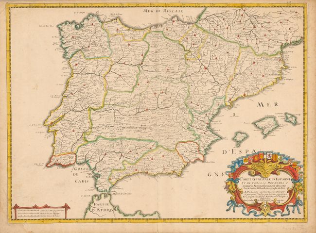
Subject: Spain & Portugal

Period: 1658 (dated)

Publication:

Color: Hand Color

Size:
22 x 26 inches
55.9 x 66 cm
Download High Resolution Image
(or just click on image to launch the Zoom viewer)

This decorative map of the Iberian peninsula brings together three important names that were involved in the Parisian map publishing trade in the seventeenth century. It was drawn by Nicolas Sanson, Geographe Ordinaire du Roi, engraved by Melchior Tavernier, and published in conjunction with Pierre Mariette (father and son), who published many of Sanson's works after 1645. The map includes the Balearic Islands and is decorative with a fine cartouche featuring the heralds of the various regions.

References:

Condition: B+

The impression is a bit weak and there is some toning and damp stains in the blank margins.

Estimate: $200 - $275

Sold for: $200

Closed on 2/16/2011

Archived