Catalog Archive
Auction 135, Lot 462
"Carte des Courones du Nord Dediee Autres Puissant et Tres Invincible Prince Charles XII. Roy de Suede, des Gots et des Vandales Grand Duc de Finlande &c. &c. &c.", Delisle, Guillaume
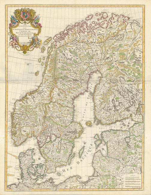
Subject: Scandinavia
Period: 1710 (circa)
Publication: Atlas Geographique et Universel…
Color: Hand Color
Size:
24 x 32 inches
61 x 81.3 cm
Download High Resolution Image
(or just click on image to launch the Zoom viewer)
(or just click on image to launch the Zoom viewer)