Catalog Archive
Auction 135, Lot 412

"The Coast of Chili and Peru from Baldivia to Lima", Cutler, Nathaniel

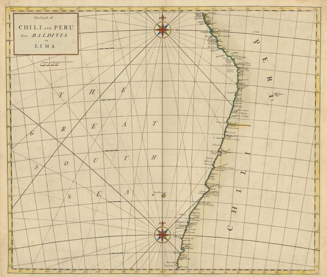
Subject: Chili and Peru

Period: 1728 (published)

Publication: Atlas Maritimus…

Color: Hand Color

Size:
23.3 x 20 inches
59.2 x 50.8 cm
Download High Resolution Image
(or just click on image to launch the Zoom viewer)

This fine chart details the coast line of South America showing ports and rivers. The only interior feature is The Famous Mines of Potosi in Peru. This rare map is likely the work of John Harris, John Senex and Henry Wilson, whose names appear on the world map of the atlas, and who introduced the new projection used for the map.

References: Phillips (A) #3298-51.

Condition: B+

There are several minor, repaired tears in the bottom margin, a couple of which barely entered the map, the lower centerfold has been reinforced.

Estimate: $275 - $350

Sold for: $180

Closed on 2/16/2011

Archived