Subject: Iowa
Period: 1856 (dated)
Publication:
Color: Hand Color
Size:
35 x 24 inches
88.9 x 61 cm
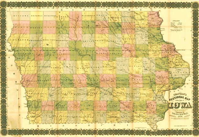
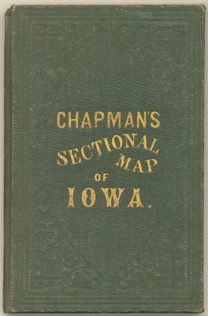
This is an early and rarely seen pocket map by Silas Chapman. It was drawn by James A. Reid in Dubuque, Iowa from the official records from the United States Surveys "and other authentic sources." Lithographed and published in Milwaukee, Wisconsin. The map is printed on fine banknote quality paper and is hand colored by county. Drawn on a scale of approximately 10 miles per inch the map contains a wealth of information. The southern portion is well settled with good detail of towns and villages, roads, and more. The railroad network is developing in the southeast with the westernmost railroad completed to Fort Des Moines. Further north another rail runs west from Dubuque, ending at Fort Dodge. The counties are organized and fill the state, but the majority of the northwest is unsettled. This early Chapman edition is dated 1856. The map has an ornately engraved border reminiscent of the style seen on elaborate stock certificate. Folds into green cloth covers ( 4"x 6") with stamped gilt title. Paper label on inside cover is a Certification from the Surveyor General's Office by Warner Lewis. A scarce issue.
References:
Condition: B+
A few folds with toning and occasional fold intersection splits. One area adjacent to title has a short split along browned fold. Covers are very nice with only slight shelf wear.