Catalog Archive
Auction 135, Lot 188

"Map of North and South Carolina", Denison, James
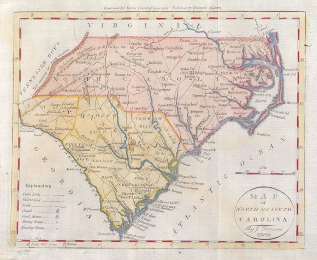
Subject: Southeast

Period: 1797 (circa)

Publication: Morse's Universal Geography

Color: Hand Color

Size:
9 x 7.5 inches
22.9 x 19.1 cm
Download High Resolution Image
(or just click on image to launch the Zoom viewer)

This first state map of the Carolinas features a legend that identifies District Lines, roads, chapels, courthouses, meeting houses and dwellings. The counties and districts in each state are named but are only delineated in South Carolina. There is a Moravian settlement near Guilford, NC. The Tennessee Gov't borders North Carolina to the west. This attractive early American map was engraved by Doolittle and carries the imprint of Thomas & Andrews above upper neatline.

References: Wheat & Brun #585.

Condition: A

Some very light color offsetting, otherwise fine.

Estimate: $200 - $240

Sold for: $160

Closed on 2/16/2011

Archived