Catalog Archive
Auction 135, Lot 114

"Carte des Parties du Nord-Ouest de l'Amerique", Bellin, Jacques Nicolas

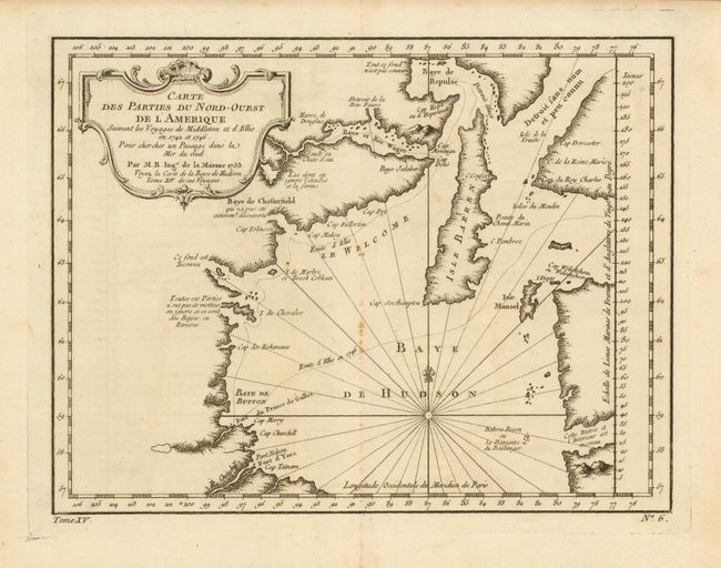
Subject: Canada - Hudson Bay

Period: 1753 (dated)

Publication: Prevost's Histoire Generale des Voyages

Color: Black & White

Size:
10.8 x 8.2 inches
27.4 x 20.8 cm
Download High Resolution Image
(or just click on image to launch the Zoom viewer)

Very nicely engraved chart that covers most of Hudson Bay. It locates Fort Prince of Wales and Fort York, the Ottawa Islands (here the Bakers Dozen), the track of Henry Ellis in 1746, Repulse Bay, Buttons Bay and more. Middleton explored Wager Inlet, Repulse Bay and the northern part of Roes Welcome in search of a Northwest Passage via Hudson Bay in 1746. Large and decorative cartouche. Dated 1753, but published in 1759. At bottom left is "Tome XV" and at bottom right "No. 6".

References: Kershaw #456.

Condition: A

Beautiful, early impression. Small area of rust spots along centerfold, otherwise fine.

Estimate: $180 - $220

Sold for: $95

Closed on 2/16/2011

Archived