Subject: Atlases, Western Hemisphere
Period: 1857 (dated)
Publication:
Color: Hand Color
Size:
6.7 x 7.6 inches
17 x 19.3 cm
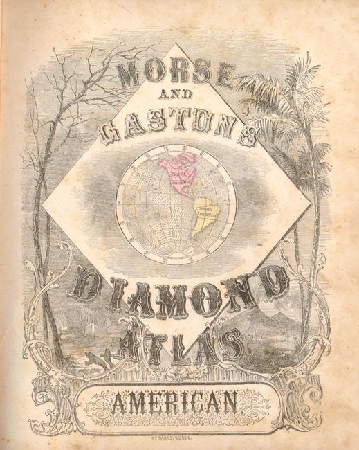
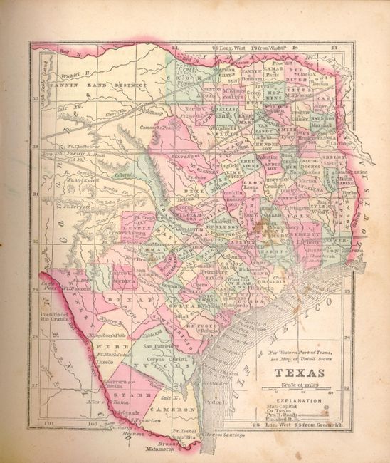
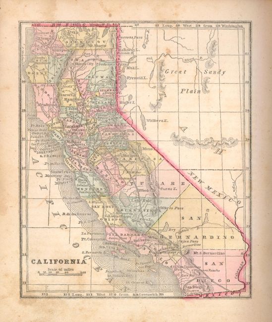
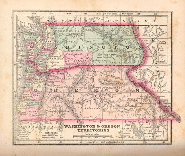
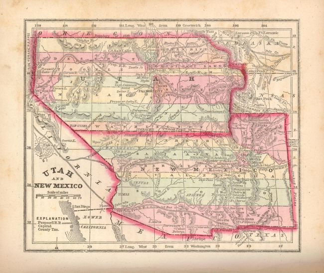
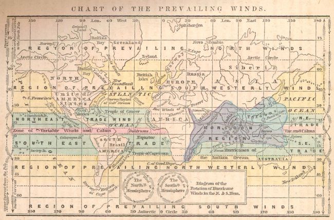
This is the very desirable edition of this small atlas that contains pre-Civil War American state maps. It includes maps of all the Americas, with specific focus on the U.S. states and territories, several interesting thematic world maps showing data like animal distribution, religions and climate, plus an uncolored map of the proposed Transatlantic Telegraph. The map of the territories of Washington and Oregon extends to the Continental Divide. The map of Utah and New Mexico is nearly identical to Colton's important map of the territories. Two title pages, publishers' preface, table of contents, text and 53 maps, 239pp. Hardbound in full red morocco with blind stamped and ornate gilt titling on both covers and spine, and full gilt on page edges (t.e.g.).
References:
Condition: B+
Maps in original outline color. Maps and text with some minor toning and light scattered foxing. Endpapers with some pencil markings. Binding rubbed with worn tips and slight cracking at bottom of spine.