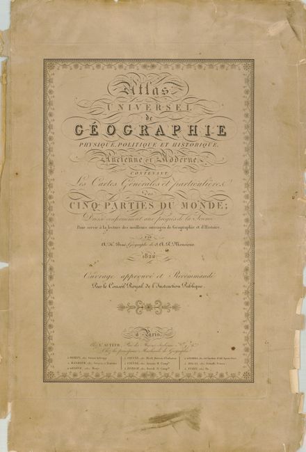
Subject: Atlases
Period: 1822 (dated)
Publication:
Color: Hand Color
Size:
14.6 x 22.2 inches
37.1 x 56.4 cm
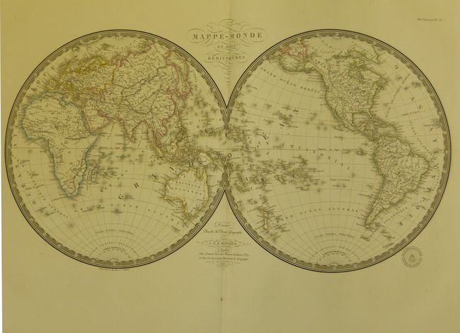
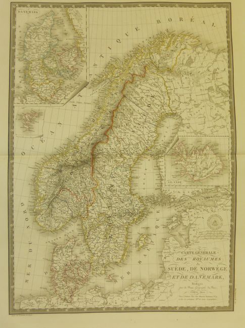
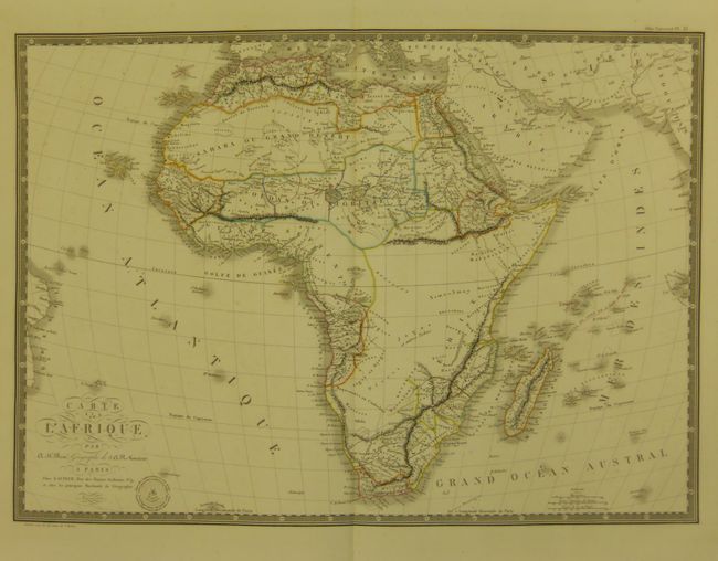
This complete atlas is disbound without the boards or end papers. The title page is dated 1822 and the Table of Contents calls for 36 maps. This atlas, however, has 39 maps. The list calls for an east and west France, but has instead a single large folding map of France. It also has 4 maps of Mexico and Latin America not called for. Contains great maps of the United States, North America, and Mexico that includes all of the Southwest, two world maps, maps of the continents including a fine map of Africa. All maps have the imprint "Gravée sous le direction de l'auteur" and Brue's embossed seal "Carte encyprotipe du fonds de l'auteur." And each is beautifully engraved and colored, and surrounded by a decorative keyboard border.
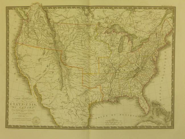
The map Carte Generale des Etats-Unis (cf Wheat TMW #336) was probably based on work of Arrowsmith and Melish with information from the Lewis & Clark and Humbolt's expeditions. It shows the United States' claims into present-day British Columbia, the Fifty-Four Forty or Fight controversy. Spain controls today's Texas, New Mexico and California. The map Carte Generale des Etats-Unis Mexicains et des Provinces-Unies de l'Amerique Centrale (Wheat #361) shows Mexico in possession of California, the Southwest, and Texas, which is named, but not yet delineated. The western topography is represented in hachure and is based on the expeditions of Lewis and Clark, Pike and Long. There are rivers crossing the Great Basin which is labeled Panys Innnu. With an inset titled Guatemala ou Provinces-Unis de l'Amerique Centrale that covers Central America and the Yucatan peninsula. A complete Brue atlas less the covers and end papers.
References:
Condition: A
The maps are mostly fine, a few with a little marginal staining. Austria is split at bottom into map image and has additional staining at top; the Spain and Portugal map has a stain into one corner; and Peru is the last map and has two extraneous folds and a few edge chips. The title page, being the first sheet, is toned or soiled with edge curling and chipping. The condition of these fine maps makes this more than worthy of professionally rebounding.