Subject: Puzzle Maps
Period: 1850 (circa)
Publication:
Color: Hand Color
Size:
9.8 x 7.8 inches
24.9 x 19.8 cm
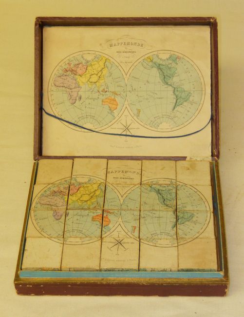
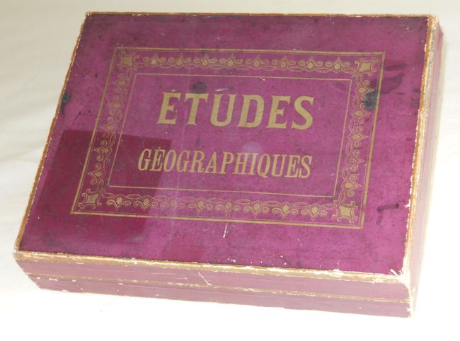
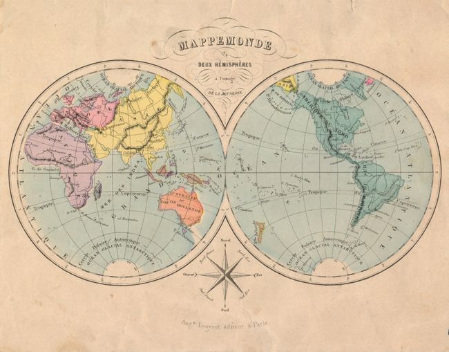
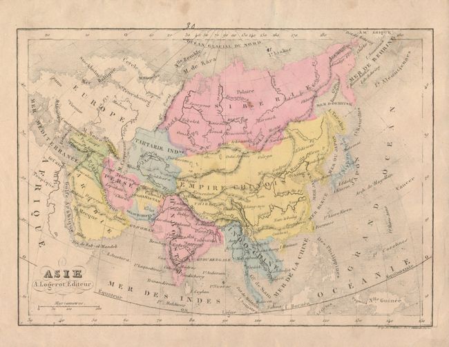
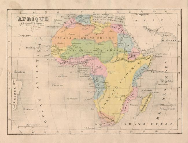
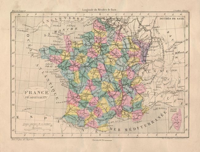
This extraordinary and complete puzzle consisting of six maps - World, Western Hemisphere, Europe, Asia, Africa and France - are on the face of 20 wooden cubes. Getting the puzzles in the correct order is not easy and reminds one of working with a Rubik's Cube. The cubes neatly fit into the original wooden box that has purple paper on sides and top with embossed gilt titling on top. Inside is gold foil along inside edge and inside the top is blue paper. The six sample maps lay in the top of the box, held in place with a woven blue string. The cubes make the following maps.
Mappemonde en Deux Hemispheres a l'usage de la Jeunesse (8.6 x 6")
Carte des Deux Ameriques (6.4 x 8.5")
Asie (8.5 x 6")
Afrique (8.5 x 6")
Europe (8.2 x 5.7")
France (8.0 x 5.6")
Each sample map is present to aid in the organization of the cubes into a finished map. Later editions of this puzzle were produced with 30 pieces. A rare cartographic curiosity that has survived very well given its purpose as a game.
References:
Condition: B+
The puzzle pieces, sample maps and original box are all very good with occasional soiling. The box has a little shelf wear along edges and at bottom left is missing a small piece of the purple paper laid over the wooden box. The sample map of Europe has a small piece of paper missing at right edge of margin and a long tear from right with an old paper repair on verso.