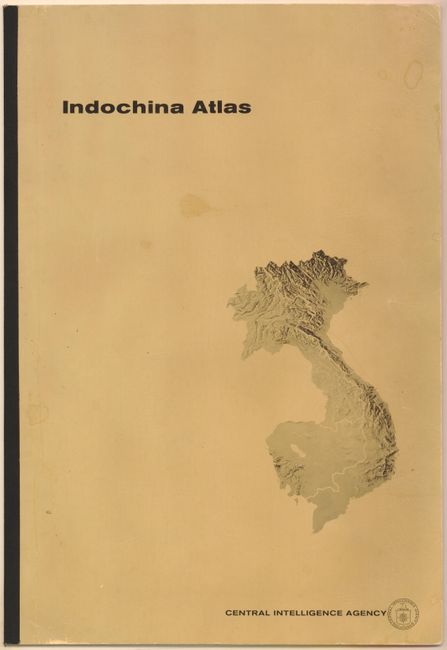
Subject: Vietnam, Laos and Cambodia, Atlas
Period: 1970 (dated)
Publication:
Color: Printed Color
Size:
14 x 20.5 inches
35.6 x 52.1 cm
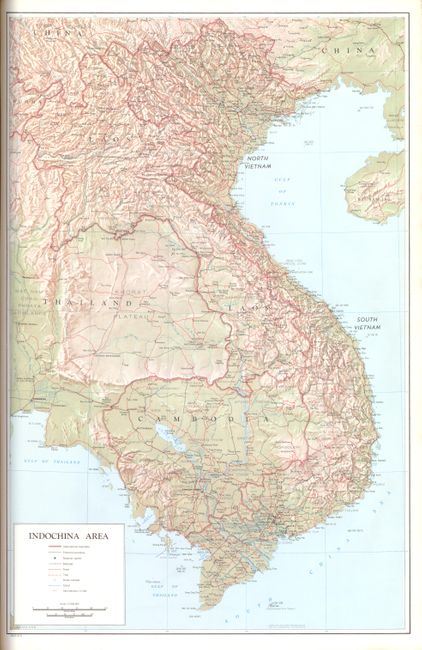
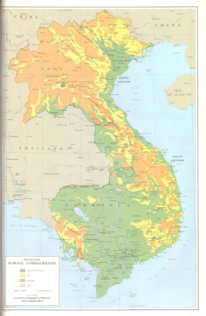
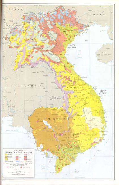
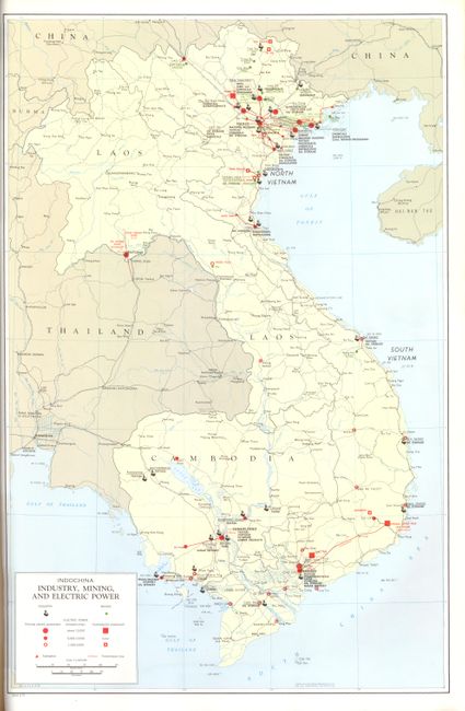
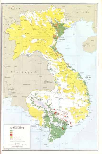
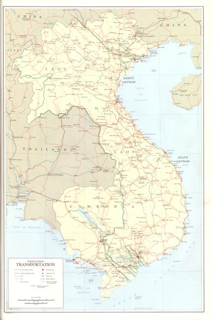
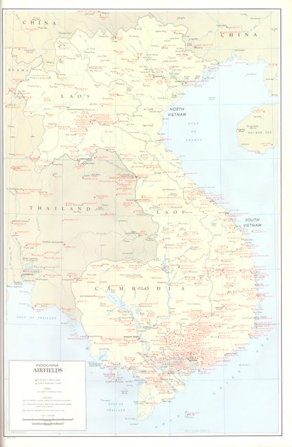
It may be too soon for some of us to buy this atlas, but it is nonetheless a remarkable record of this politicized war, and will ultimately have its place in any in-depth collection of the region. Each of the thirteen maps uses the same base map of Indochina but each with a different thematic view including political, airfields, topography (Hypsometry), Bathymetry and areas subject to Flooding, precipitation and monsoon airflow, vegetation, agriculture, industry, mining & electric power, Administrative divisions, population density and the Ethnolingusitic groups. All are remarkably detailed such as the airfields map which locates an amazing number of runways that are particularly densely packed in the south and along the coast up to the Gulf of Tonkin. This atlas is not marked as Classified nor is its distribution mentioned.
References:
Condition: A+
The maps are all fine, very strong impressions and color. The covers are near fine with no physical flaws but two small and light spots are on front cover.