Catalog Archive
Auction 134, Lot 647
"Carte des Isles du Japon et la Presqu Isle de Coree, avec les Costes de la Chine depuis Pekin jusq'a Canton", Bellin/Van Schley
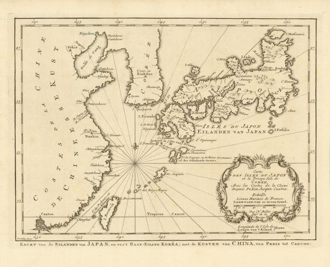
Subject: China, Korea & Japan
Period: 1773 (published)
Publication: Raynal's Atlas Portatiff…
Color: Black & White
Size:
11.3 x 8.3 inches
28.7 x 21.1 cm
Download High Resolution Image
(or just click on image to launch the Zoom viewer)
(or just click on image to launch the Zoom viewer)