Catalog Archive
Auction 134, Lot 560

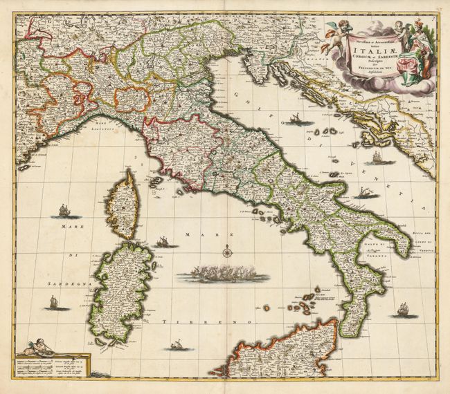
"Novissima et Accuratissima Totius Italiae Corsicae et Sardiniae Descriptio", Wit, Frederick de

Subject: Italy

Period: 1680 (circa)

Publication:

Color: Hand Color

Size:
22.4 x 19.4 inches
56.9 x 49.3 cm
Download High Resolution Image
(or just click on image to launch the Zoom viewer)

This fine map of Italy extends to include Corsica and Sardinia in the west and through the Dalmatian coast, which was controlled by the Republic of Venice. The map is filled with information on the cities and towns and is beautifully ornamented with putti and Europa in the title cartouche and sailing ships and a raging sea battle filling the seas.

References:

Condition: B+

Faint toning along the centerfold, which has been reinforced on verso. There are some repaired tears in the blank margins, which have been slightly trimmed, but still very ample.

Estimate: $600 - $700

Sold for: $550

Closed on 12/1/2010

Archived