Catalog Archive
Auction 134, Lot 461

"A Map of the County of Flanders by William de l'Isle", Senex, John
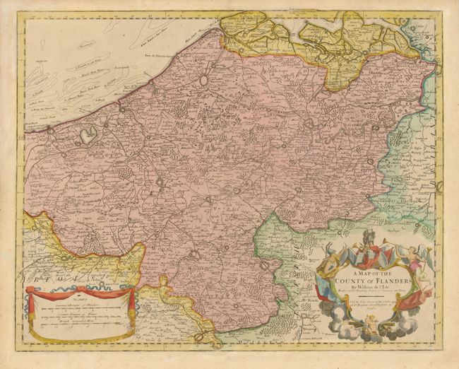
Subject: Belgium

Period: 1721 (circa)

Publication:

Color: Hand Color

Size:
24 x 19 inches
61 x 48.3 cm
Download High Resolution Image
(or just click on image to launch the Zoom viewer)

This detailed map of Flanders shows fortified cities, roads, forests and even the tiniest of villages. The map combines the work of two of the leading cartographers of the 18th century. Originally draw by Guillaume Delisle and published in France with the title, Carte du Comte de Flandre, this is an English edition published by John Senex. Senex produced books maps, globes, navigational instruments and worked in partnership with a number of other prominent cartographers.

References:

Condition: B+

A few faint spots and toning mostly visible on verso.

Estimate: $250 - $325

Unsold

Closed on 12/1/2010

Archived