Catalog Archive
Auction 134, Lot 454

"Germaniae Inferioris sive Belgii Pars Meridionalis Exhibens X Provincias Catholic", Lotter, Tobias Conrad

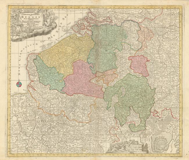
Subject: Low Countries

Period: 1760 (circa)

Publication:

Color: Hand Color

Size:
22.5 x 19.5 inches
57.2 x 49.5 cm
Download High Resolution Image
(or just click on image to launch the Zoom viewer)

This attractive and finely engraved map covers Belgium, Flanders, Luxemburg and parts of France and Holland. Densely filled with towns, villages, churches and many rivers. Decorated with two figurative cartouches. At lower right is the Plan of Ostende detailing the fortified city that figured prominently in the Dutch and Spanish conflict during the Hundred Years' War.

References:

Condition: A

One light and diffuse stain near middle at centerfold, otherwise a fine example.

Estimate: $220 - $300

Sold for: $150

Closed on 12/1/2010

Archived