Catalog Archive
Auction 134, Lot 435
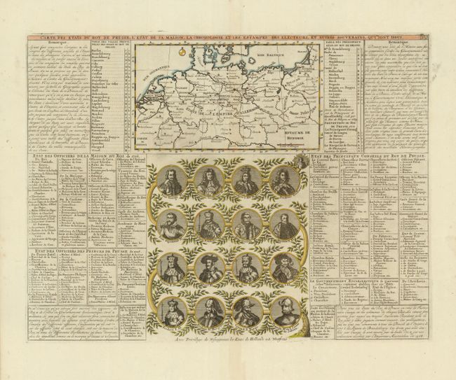
"Carte des Etats du Roy de Prusse, l'Etat de sa Maison, la Chronologie et les Estampes des Electeurs, et Autres Souverains, qui Sont Issus", Chatelain, Henry Abraham
Subject: Northern Europe
Period: 1720 (circa)
Publication: Atlas Historique…
Color: Hand Color
Size:
17.6 x 13.5 inches
44.7 x 34.3 cm
Download High Resolution Image
(or just click on image to launch the Zoom viewer)
(or just click on image to launch the Zoom viewer)