Catalog Archive
Auction 134, Lot 409
"Britannicae Insulae in quibus Albion seu Britannia Major, et Ivernia seu Britannia Minor…", Robert de Vaugondy/Santini
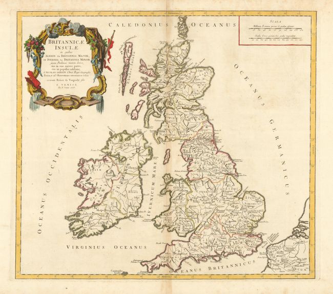
Subject: Britain
Period: 1778 (dated)
Publication: Atlas Universel
Color: Hand Color
Size:
21 x 18.8 inches
53.3 x 47.8 cm
Download High Resolution Image
(or just click on image to launch the Zoom viewer)
(or just click on image to launch the Zoom viewer)