Catalog Archive
Auction 134, Lot 405

"Carte Reduite des Isles Britanniques Dressee au Depost des Cartes, Plans, et Journaux de la Marine…", Bellin, Jacques Nicolas
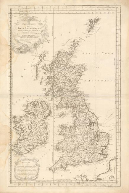
Subject: Britain

Period: 1757 (dated)

Publication: Hydrographie Francoise…

Color: Black & White

Size:
21.5 x 34.3 inches
54.6 x 87.1 cm
Download High Resolution Image
(or just click on image to launch the Zoom viewer)

Superb, large-scale chart of Scotland, England, and Ireland which extends to the Shetland Islands and the tip of France. Shows great coastal information and a surprising amount of detail in the interior. This map is distilled from Bellin's larger, separate maps of the British Isles. The chart is embellished by a large scenic title cartouche, as well as a remarque cartouche at lower left. The map has the stamp of the Depot de la Marine and the cost Prix, cinquante sols is given at lower right beneath the border.

References:

Condition: B+

A nice impression on thick, sound paper with wide original margins. Some water stains along left margin that just enter into map at two areas. Uncolored as issued.

Estimate: $400 - $500

Sold for: $125

Closed on 12/1/2010

Archived