Catalog Archive
Auction 134, Lot 389

"Zusammen Gezogene Karte von den Nordlichen Theilen der Erd-Kugel Zwischen Asien und America", Bellin, Jacques Nicolas
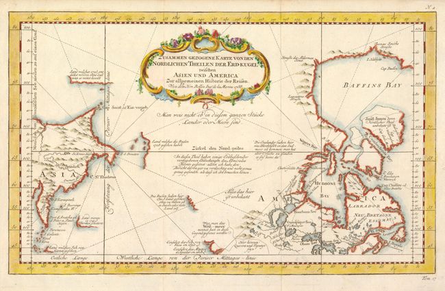
Subject: Arctic

Period: 1758 (dated)

Publication: Allgemeine Historie der Reisen…

Color: Hand Color

Size:
13.4 x 8.3 inches
34 x 21.1 cm
Download High Resolution Image
(or just click on image to launch the Zoom viewer)

Very unusual chart that shows only the northeast coastline of Canada with Baffin and Hudson Bay and the St. Lawrence River. On the other side is the northeast coastline of Asia with the Kamchatka peninsula. In between are a few small areas of coastline with notations concerning reported explorations, including those of Juan de Fuca, the Russian expeditions in 1728 and 1741, the reported West-meer (Sea of the West) and the English quests for a Northwest Passage via the Hudson Bay. The map was published in Leipzig by Arkstee & Merkus.

References: Kershaw #1116.

Condition: A+

Estimate: $200 - $250

Sold for: $210

Closed on 12/1/2010

Archived