Catalog Archive
Auction 134, Lot 35

"Welt Charten, Worauf die Reife nach Indien", Heydt, Johann Wolfgang
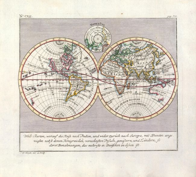
Subject: World

Period: 1744 (circa)

Publication: Allerneuster geographisch…

Color: Hand Color

Size:
10.4 x 8.7 inches
26.4 x 22.1 cm
Download High Resolution Image
(or just click on image to launch the Zoom viewer)

This scarce, double hemisphere world map presents some unusual geography. In North America, California appears as an enlarged peninsula, the St. Laurence River and Great Lakes appear as a long inland sea, and the Longue R. connects the Missouri River with the Gulf of California. The Eastern Hemisphere is not as distorted, owing to Heydt's work with the Dutch East India Company. The Dutch discoveries in Australia and New Zealand are shown. A North Polar sphere is included at top.

References:

Condition: A+

Fine with some light soil in the blank margins.

Estimate: $600 - $650

Sold for: $450

Closed on 12/1/2010

Archived