Catalog Archive
Auction 134, Lot 314

"Carte des Iles Antilles des Etats-Unis de l'Amerique - Centrale, et de la Mer du Mexique", Brue, Adrien Hubert

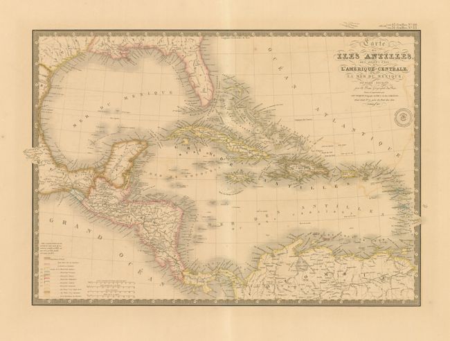
Subject: Gulf of Mexico and Caribbean

Period: 1837 (dated)

Publication: Atlas Universel de Geographie Physique, Politique et Historique…

Color: Hand Color

Size:
21 x 14.8 inches
53.3 x 37.6 cm
Download High Resolution Image
(or just click on image to launch the Zoom viewer)

The beautifully engraved and colored map details all of the Gulf of Mexico, the Bahamas Islands, Cuba, the Antilles and Central America. This is the "Second Edition" dated 1837. Legend at lower left identifies via hand coloring the land areas of eleven colonial powers, including France, England, Spain, Denmark, Holland, and Sweden. Four distance scales. A very handsome map with Brue's embossed seal and a decorative keyboard-style border.

References:

Condition: B+

An exceptional and flawless example less some light offsetting at right. Crisp, early impression and fine original coloring with enormous margins.

Estimate: $180 - $220

Sold for: $100

Closed on 12/1/2010

Archived