Catalog Archive
Auction 134, Lot 177

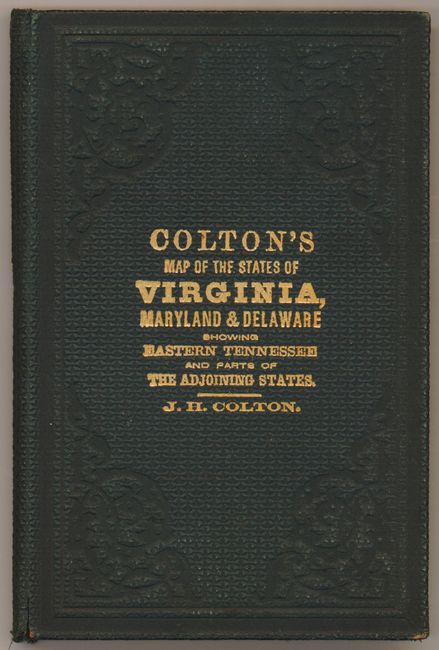
"Colton's New Topographical Map of the States of Virginia, Maryland and Delaware Showing also Eastern Tennessee & Parts of other Adjoining States, All of the Fortifications, Military Stations, Railroads, Common Road …", Colton, Joseph Hutchins

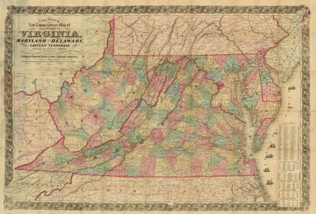
Subject: Mid-Atlantic United States

Period: 1864 (dated)

Publication:

Color: Hand Color

Size:
43 x 30 inches
109.2 x 76.2 cm
Download High Resolution Image
(or just click on image to launch the Zoom viewer)

Very large Civil War period pocket map that is hand colored by county and shows exceptional detail on a scale of 12 miles per inch. Shows towns and villages, topography, watershed and the legend further identifies roads, canals and existing and proposed railroads. The map is embellished with fancy titling and flourishes, several sail and steam ships, and a wide and elaborate floral-themed border. Table at lower right gives population by counties. Folds into original dark green embossed cloth boards. Inside paper label "J.H. Colton's Geographical Establishment" lists atlases and large maps available.

References:

Condition: C+

Presents well with fine original hand color, good impression and minimal flaws except for a number of fold intersection splits and splits on some folds. Would benefit from tissue backing.

Estimate: $400 - $600

Sold for: $500

Closed on 12/1/2010

Archived