Catalog Archive
Auction 133, Lot 273

"Map of Indian Territory Showing the Distribution of Woodland", U.S. Geological Survey (USGS)
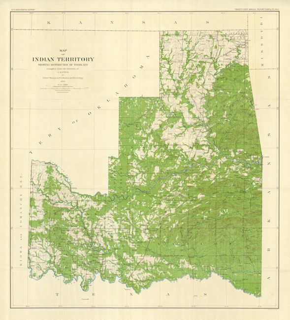
Subject: Oklahoma

Period: 1899 (dated)

Publication: USGS 21st Annual Report

Color: Printed Color

Size:
29.5 x 32.5 inches
74.9 x 82.6 cm
Download High Resolution Image
(or just click on image to launch the Zoom viewer)

Very attractive and colorful large-scale topographic folding map details the forested areas of Indian Territory. The map has vivid lithographic printing and shows much detail including Indian lands, towns, railroads, watershed, topography and early surveying. This example is from the U.S. Geological Survey's Twenty-first Annual Report, Part V. Pl. CXLII, and was compiled by Gilbert Thompson, F.E. Mathes and M.L. Cudlip under the direction of C.H. Fitch. Printed by Julius Bien, New York.

References:

Condition: A+

Folding as issued.

Estimate: $100 - $120

Sold for: $60

Closed on 9/1/2010

Archived