Subject: Oklahoma
Period: 1893 (dated)
Publication: HR Doc 27, 53rd Cong. 1st Sess.
Color: Black & White
Size:
32.3 x 19.8 inches
82 x 50.3 cm
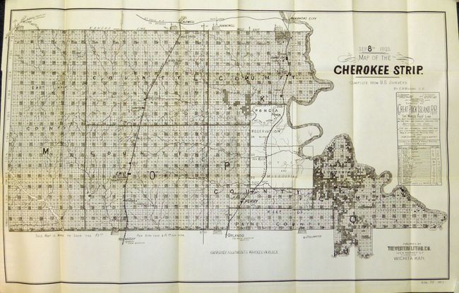
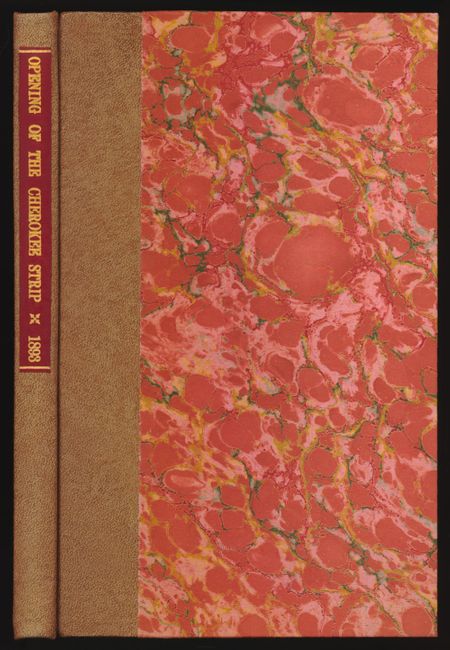
The Cherokee Outlet, about 12,000 square miles in present-day western Oklahoma, was purchased from the Cherokee in 1861. On September 16, 1893 it was opened for settlement with over 100,000 settlers braced on the opening lines. This map details the parcels available at $2.50 and $1.50 per acre. It locates the seven starting booths, plus the railroads, villages and towns, and topographical and watershed information. The reserved Cherokee Allotments are marked on the map in black. This remarkable document illustrates one of the greatest land rushes in history. Published by Western Litho. Co., Wichita, Kansas. A beautiful and fine example of this desirable and historical map that is still bound in the original report "Opening of the Cherokee Strip." The report is in fine, modern binding with marbled boards with leather spine and red leather gilt label on spine.
References:
Condition: A+
The condition of the report and map is exquisite, flawless. It is remarkable that a government report and folding map exists in this condition after nearly 120 years.