Subject: Eastern United States
Period: 1825 (published)
Publication: Atlas to Marshall's Life of Washington
Color: Hand Color
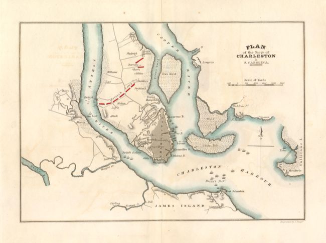
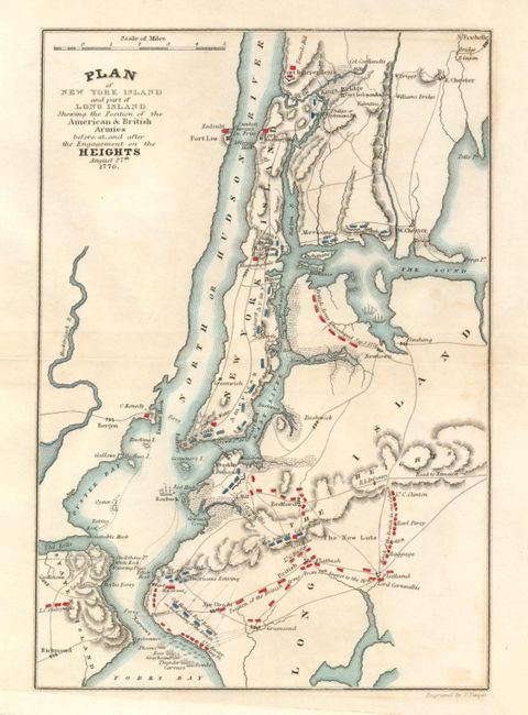
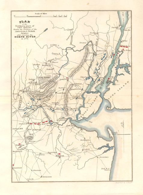
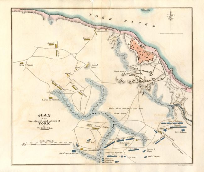
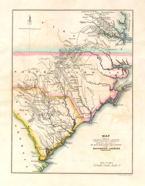
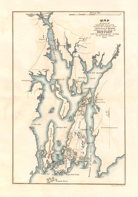
Lot of six maps from this important and early history of the American Revolution published by J. Crissy. Each map has abundant details, including relevant locations and illustrations representing ships and armies distinguished by color. They delineate the positions and movements of General Washington, and several other British and American generals at important stages of the American Revolutionary War. The maps each measure approximately 9" x 7" and include the following:
1) Plan of the Siege of Charleston in S. Carolina
2) Plan of New York Island and part of Long Island Shewing the Position of the American & British Armies before and after the Engagement on the Heights August 27th 1776.
3) Plan of the Northern part of New Jersey Shewing the Positions of the American & British Armies after crossing the North River in 1776.
4) Plan of the Investment and Attack of York in Virginia.
5) Map of part of Virginia Northern Carolina South Carolina & Georgia which were the scenes of the most important Operations of the Southern Armies.
6) Map of part of Rhode Island Shewing the Positions of the American & British Armies at the Siege of Newport and the subsequent Action on the 29th of August 1778.
References:
Condition: B+
Each carries a strong impression and original margins. All with a little light offsetting.