Catalog Archive
Auction 132, Lot 732

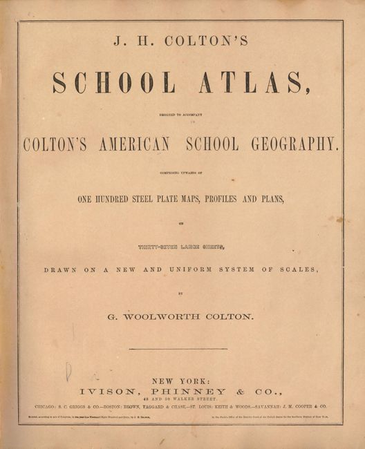
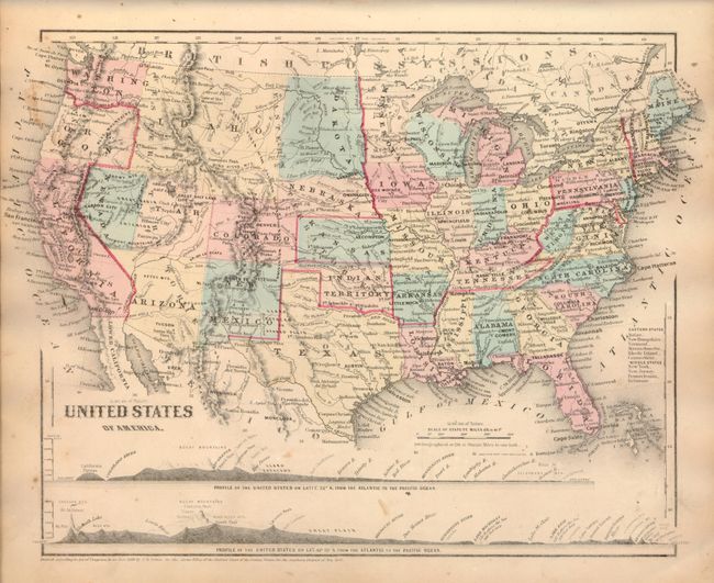
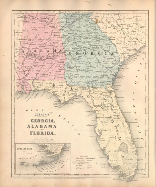
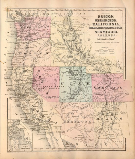
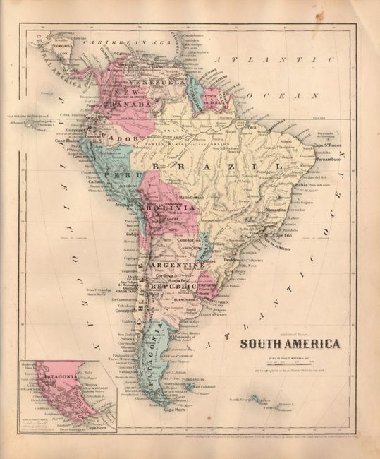
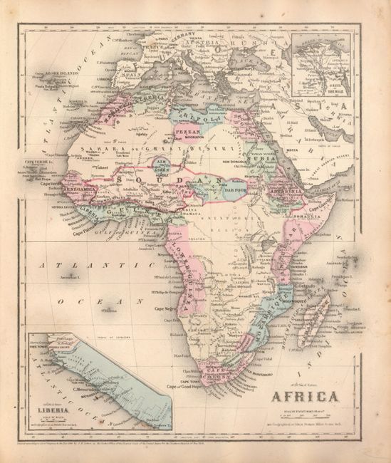
"J.H. Colton's School Atlas, Designed to Accompany Colton's American School Geography", Colton, Joseph Hutchins

Subject: Atlases

Period: 1860 (dated)

Publication: Ivison, Phinney & Co.

Color: Hand Color

Size:
12 x 14 inches
30.5 x 35.6 cm
Download High Resolution Image
(or just click on image to launch the Zoom viewer)

Large quarto format atlas with numerous steel plate maps, profiles and plans, on 37 large sheets. With a nice single page Texas and an excellent map of Oregon, California and the Southwest that shows the newly formed Nevada and Arizona. Arizona occupies the southern tip of Nevada in several maps. The U.S. map features a huge Idaho Territory that extends from Washington & Oregon to the large Dakota Terriotry at 104°. The atlas is dated 1860 but is obviously a circa 1863 publication. As a Civil War-period atlas it is fascinating to find not a single reference to the conflict.

References:

Condition: B+

Condition code is for the maps which are good with occasional foxing or soiling. Covers are heavily worn and spine is perished.

Estimate: $300 - $350

Sold for: $220

Closed on 6/2/2010

Archived