Subject: Atlases
Period: 1835 (circa)
Publication:
Color: Hand Color
Size:
5.5 x 7.8 inches
14 x 19.8 cm
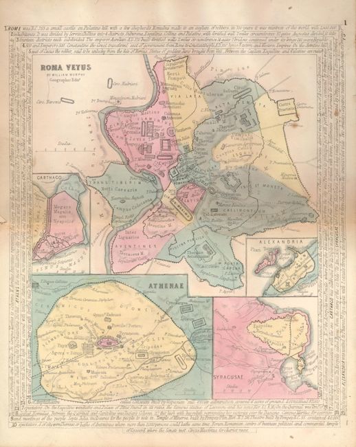
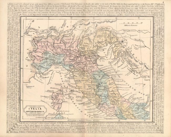
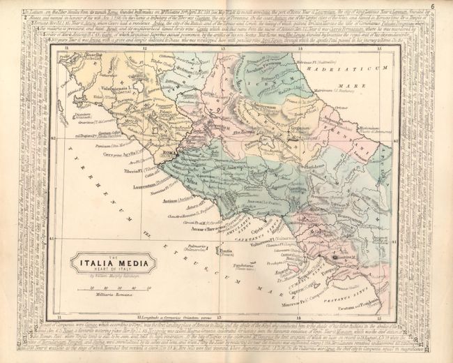
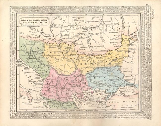
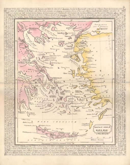
This is a composite atlas, likely assembled in the early part of the 20th century due to the contents of unrelated typewritten end paper that was used in the binding. The maps are likely from one of Murphy's historical atlases. There are 16 maps, each with an interesting border made up of lines of text that encircle the map and describe the region. The maps include all the countries bounding the Mediterranean, including nice maps of ancient Rome and the Grecian Archipelago. Marble paper boards, no title page. Sold as a collection of maps. William Murphy is an obscure Scottish cartographer and publisher of the early 19th century and member of the Edinburgh Geological Society. His maps are rarely found on the market.
References:
Condition: B
Front covers detached, spine missing, maps generally good except the Caanan/Palestine map which is split on centerfold and has extensive pencil notations.