Catalog Archive
Auction 132, Lot 631

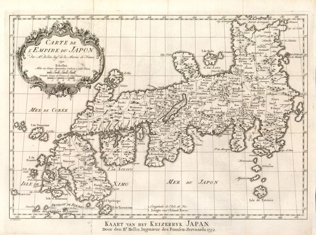
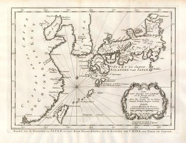
"[Lot of 2] Carte de l'Empire du Japon [and] Carte des Isles du Japon et la Presqu Isle de Coree, Avec les Costes de la Chine Depuis Pekin Jusqu'a Canton", Bellin, Jacques Nicolas

Subject: Japan

Period: 1752 (dated)

Publication: Prevost's Historische Beschryving de Reizen…

Color: Printed Color

Size:
12.2 x 8.4 inches
31 x 21.3 cm
Download High Resolution Image
(or just click on image to launch the Zoom viewer)

Nice pair of maps from the Dutch version of Prevost's history of important voyages, both engraved by Jan van der Schley. The first is a reduced version of Bellin's influential map made for Jesuit Father Pierre-Francois-Xavier de Charlevoix's Histoire du Japon. Japan is presented basically on the Kaempfer/Scheuchzer model with several corrections to the coastlines. The second covers Japan and extends to Korea, a portion of the coast of China to Canton, the Ryukyu Islands and Taiwan (Formosa). The map is titled in both French and Dutch, with some place names in both as well.

References: Walter OAG #107 & #106.

Condition: A

Nice impressions with a hint of surface soil.

Estimate: $250 - $325

Sold for: $180

Closed on 6/2/2010

Archived