Catalog Archive
Auction 132, Lot 593
"Carte de la Terre Sainte divisee selon les douze Tribus d'Israel, ou sont exactement marquez les Voyages de Jesus-Christ…", Mortier, Pierre
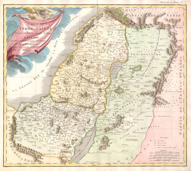
Subject: Holy Land
Period: 1809 (published)
Publication: Nouvel atlas de la Bible…
Color: Hand Color
Size:
17.5 x 15.4 inches
44.5 x 39.1 cm
Download High Resolution Image
(or just click on image to launch the Zoom viewer)
(or just click on image to launch the Zoom viewer)