Catalog Archive
Auction 132, Lot 573

"Tabula Itineris Decies Mille Graecorum sub Cyro contra fratrem Suum Artaxerxem Regem Persarum…", Duval, Pierre

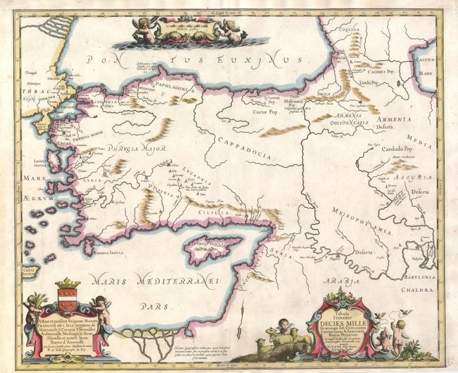
Subject: Middle East

Period: 1660 (circa)

Publication:

Color: Hand Color

Size:
19.5 x 16.3 inches
49.5 x 41.4 cm
Download High Resolution Image
(or just click on image to launch the Zoom viewer)

This historical map illustrates the region involved in the conquest of Cyrus the Great (558-528 BC), the founder of the Persian Empire under the Achaemenid dynasty. It covers all of Asia Minor through to Armenia and Babylon. Three superb cartouches featuring putti adorn the map, which was compiled and drawn by Pierre Duval for Jansson's historical atlas.

References:

Condition: B+

There is a professionally repaired 2" tear neat bottom center and some minor toning and soil. The bottom margin has been extended to better accommodate framing.

Estimate: $200 - $275

Sold for: $150

Closed on 6/2/2010

Archived