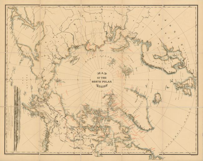
Subject: North Pole
Period: 1879 (published)
Publication: Narrative of the Second Arctic Expedition
Color: Printed Color
Size:
31 x 24 inches
78.7 x 61 cm
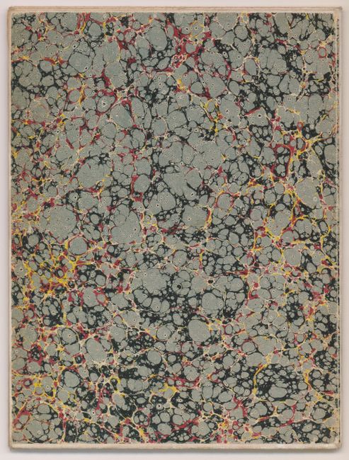
A beautiful example of this infrequently seen circumpolar map that documents all Arctic explorations to date. This version is segmented to 15 sections and mounted on original linen. Red overprinting shows routes, locations, and important events of the major Arctic expeditions, from Hudson (1607 to 1610) to about 1880. The latest expedition shown is George S. Nares' 1876 attempt by dog-sled to reach the pole via Smith Sound and Robeson Channel and to explore the northern parts of Ellesmere Island as well as Northwest Greenland. Other expeditions noted include those of Perry, Mackenzie, Wood, Hayes, Beechey, Green, Rodgers, and Long. A large inset shows a sea view of "Wrangell Land As seen from the Bark Nile of New London, Capt. Th. Long. Aug. 14th 15th & 16th - 1867; 15 to 18 miles distance". Engraved by Wm. Bauman and published by The Graphic Co., 39 & 41 Park Place, N.Y. Map folds into self wrappers of marbled paper (6.6 x 8.8"). A very lovely example of this chart in the rare segmented version.
References:
Condition: A+
Very nice example, clean and with a bright impression.