Catalog Archive
Auction 132, Lot 387
"A Chart of the Coast of South America from Anegada Bay to Cape Horn and from Cape Horn to Baldivia", Senex, John
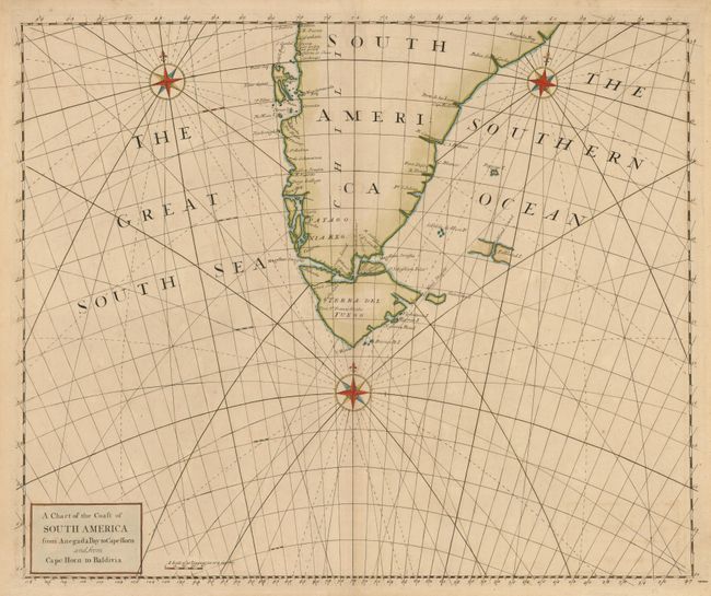
Subject: Southern South America
Period: 1728 (published)
Publication: Atlas maritimus & commercialis…
Color: Hand Color
Size:
23.3 x 19.3 inches
59.2 x 49 cm
Download High Resolution Image
(or just click on image to launch the Zoom viewer)
(or just click on image to launch the Zoom viewer)