Catalog Archive
Auction 132, Lot 382
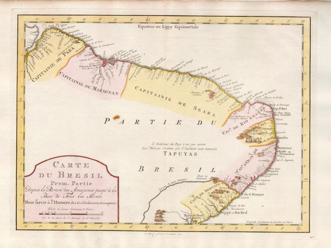
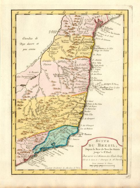
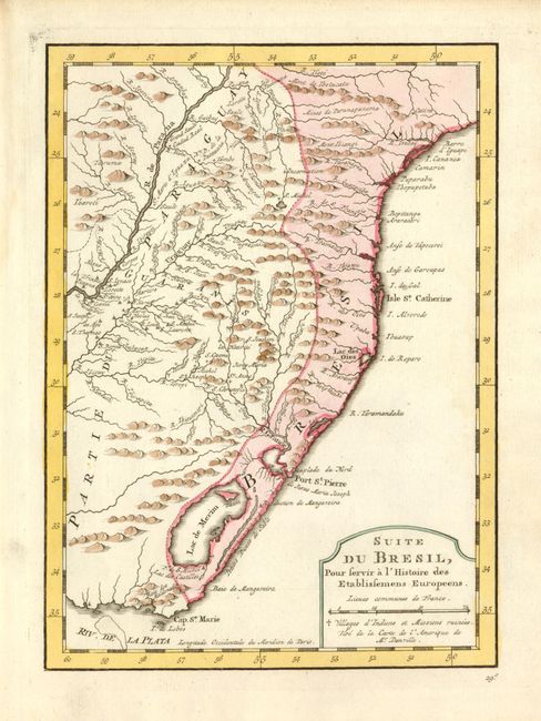
"[Lot of 3] Carte du Bresil Prem. Partie Depuis la Riviere des Amazones jus qua la Bay de Tous les Saints [and] Suite du Bresil, Depuis la Baie de Tous les Saints jusqu'a St. Paul [and] Suite du Bresil, Pour servir a l'Histoire des Etablissemens Europeens", Bellin, Jacques Nicolas
Subject: Brazil
Period: 1773 (published)
Publication: Raynal's Atlas Portatif…
Color: Hand Color
Size:
6.6 x 9.2 inches
16.8 x 23.4 cm
Download High Resolution Image
(or just click on image to launch the Zoom viewer)
(or just click on image to launch the Zoom viewer)