Catalog Archive
Auction 132, Lot 363
"Rada y Puerto de S. Juan de Antigua", Direccion de Hidrografia
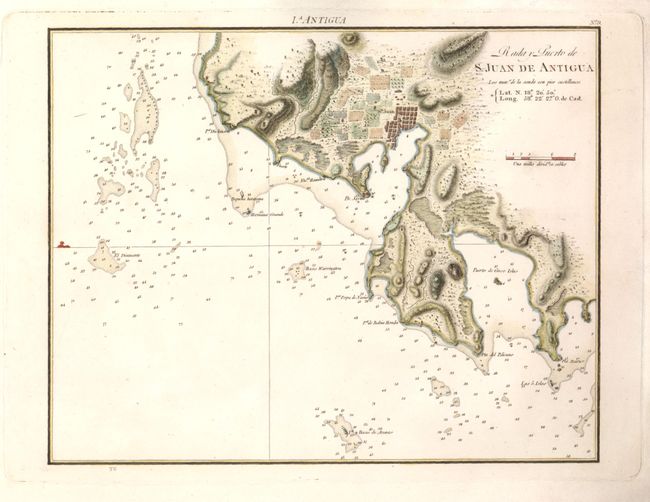
Subject: Antigua
Period: 1809 (circa)
Publication: Portulano de la America Setentrional
Color: Hand Color
Size:
11 x 8.7 inches
27.9 x 22.1 cm
Download High Resolution Image
(or just click on image to launch the Zoom viewer)
(or just click on image to launch the Zoom viewer)