Catalog Archive
Auction 132, Lot 310

"[Lot of 20 - Civil War Maps]", U.S. Government
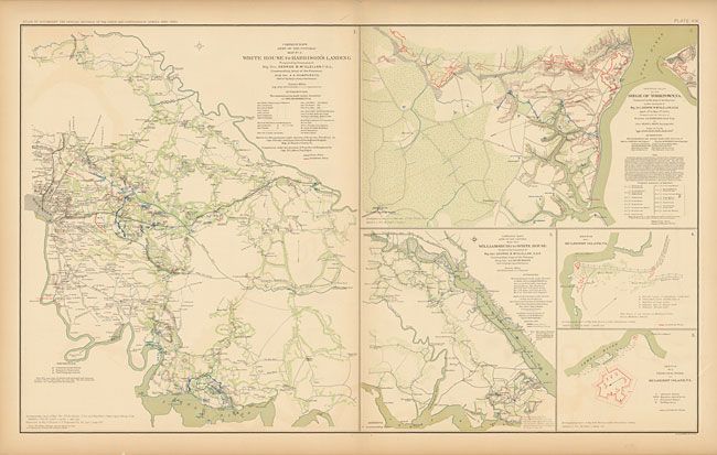
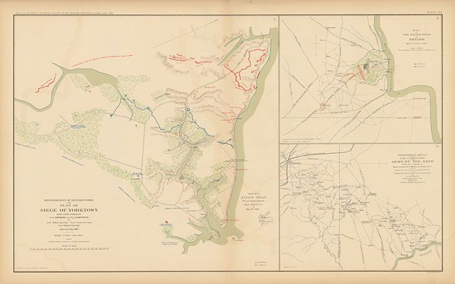
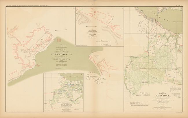
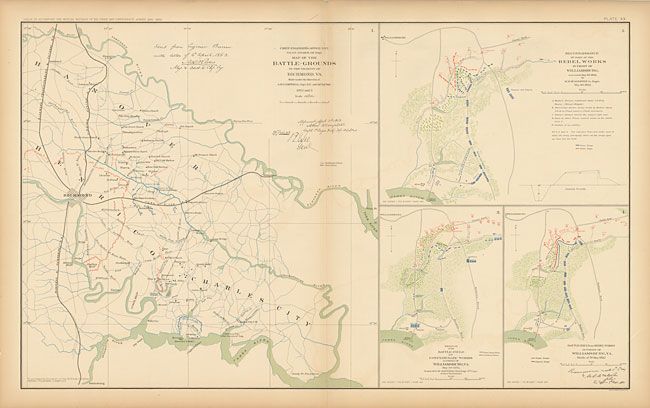
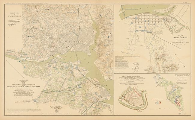
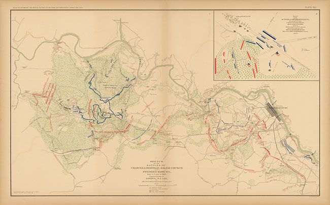
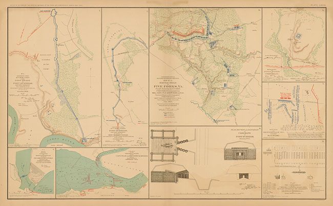
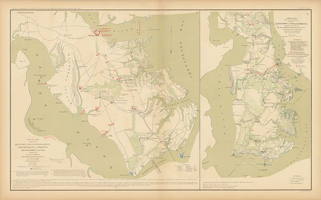
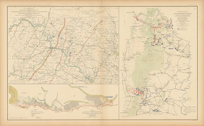
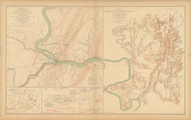
Subject: Virginia

Period: 1892 (published)

Publication: Atlas to Accompany the Official Records of the Union and Confederate Armies

Color: Printed Color

Size:
27.4 x 16.4 inches
69.6 x 41.7 cm
Download High Resolution Image
(or just click on image to launch the Zoom viewer)

This lot contains numerous maps and battle plans, most of which depict battles in Virginia during the Civil War. These maps were issued to accompany the War of the Rebellion, A Compilation of the Official Records of the Union & Confederate Armies, which is the official government publication documenting the Civil War. Nearly 30 years passed before the record could be published. Included are plates 6, 7, 8, 9, 14,15,16, 17, 18, 19, 20, 21, 26, 27, 39, 41, 42, 45, 55, and 68.

References:

Condition: A

There is some brittleness and damp stains on the paper edges with a few chips and tears in the margins, otherwise fine.

Estimate: $300 - $400

Sold for: $170

Closed on 6/2/2010

Archived