Catalog Archive
Auction 132, Lot 30

"A Chart of the World, According to Mercators Projection Shewing the latest Discoveries of Capt. Cook", Guthrie, William
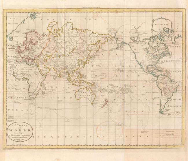
Subject: World

Period: 1785 (dated)

Publication: Guthrie's New System of Geography

Color: Hand Color

Size:
19 x 14.5 inches
48.3 x 36.8 cm
Download High Resolution Image
(or just click on image to launch the Zoom viewer)

This interesting chart of the world presented on Mercator's projection details the discoveries made during Captain Cook's expeditions. Alaska is shown in a rudimentary shape and there is a notation that further exploration above the Arctic Circle was blocked by ice in July 1779. The Explanation uses different engraved line to delineate the route taken by Cook on his three voyages of exploration. Imprint of C. Dilly June 15th 1785 is below the neatline. Engraved by Wm. Darton.

References:

Condition: B

On thick, strong paper with good impression. The map has offsetting, mostly in the right half and the lower right corner has a rectangular patch of toning.

Estimate: $250 - $300

Sold for: $160

Closed on 6/2/2010

Archived