Subject: Pennsylvania
Period: 1836 (dated)
Publication:
Color: Hand Color
Size:
15.5 x 12.8 inches
39.4 x 32.5 cm
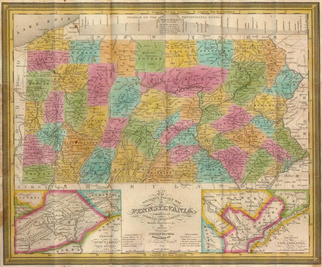
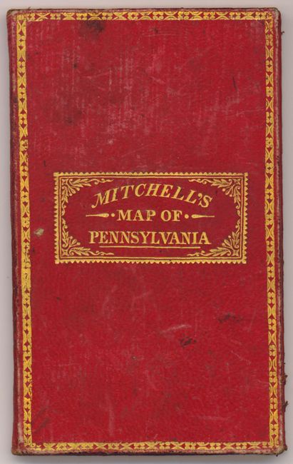
This lovely example features insets of the Lehigh and Schuylkill Coal Regions and the Vicinity of Philadelphia with a large profile of the Pennsylvania Canal across the top. The map has 1831 copyright imprint, but this edition is updated to 1836 as noted in the title. It shows Potter County (1835) but Monroe (1836) is not present. The map is finely engraved with detail throughout locating many roads, towns, and railroads with good topographical information. Printed on fine banknote paper and folds into original, gilt-stamped red leather covers measuring 3" x 5". Original paper label inside the front cover gives population by county from the 1830 census.
References:
Condition: B+
The map is very good with just a few spots. Very attractive and bright original hand color. The paper is mostly clean with a few small foxing spots and the left margin is somewhat darkened where it came in contact with the inner covers. There are a few pin holes at some fold intersections. The verso has some very fine tissue re-enforcement at the folds which are nearly invisible. The red leather covers are sound and have only minor wear.