Catalog Archive
Auction 132, Lot 176

"A New Map of Georgia, with part of Florida, Louisiana, and Carolina … Collected by Eman: Bowen … 1764", Schoolcraft, H.

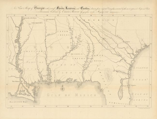
Subject: Southern United States, Georgia

Period: 1855 (published)

Publication: History of the Indian Tribes…

Color: Black & White

Size:
18.5 x 12.5 inches
47 x 31.8 cm
Download High Resolution Image
(or just click on image to launch the Zoom viewer)

Schoolcraft used a simplified version of Emanuel Bowen's important early map of colonial Georgia to highlight the Indian tribes and villages in the region. The map covers from Charlestown to the Mississippi River and extends into Florida to below St. Augustine in the vicinity of the unnamed Cape Canaveral. In addition to the updated information on the Indian villages, many roads and trading paths are depicted, and there are significant differences to the watershed east of the Flint River.

References:

Condition: A

Folding as issued with wide margins. Just a few tiny spots, still very good.

Estimate: $200 - $300

Unsold

Closed on 6/2/2010

Archived