Subject: Eastern United States
Period: 1861 (dated)
Publication:
Color: Hand Color
Size:
24.4 x 19 inches
62 x 48.3 cm
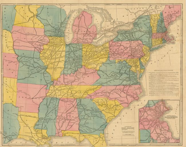
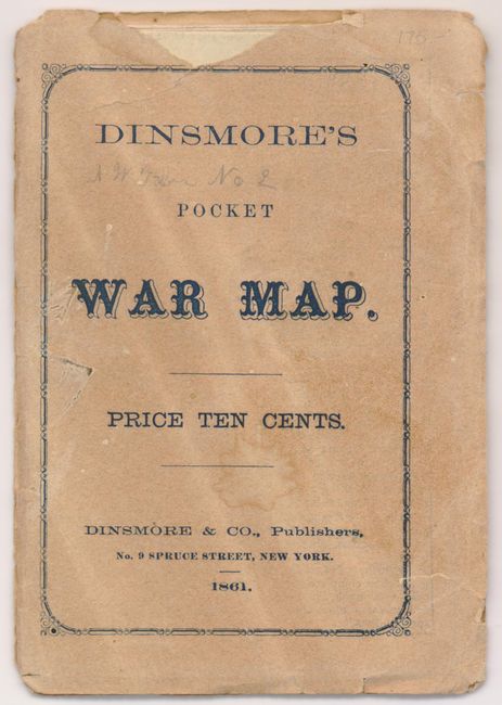
This scarce Civil War map was probably issued at the onset of the war. It is a handsome issue that shows the Untied States just into Texas, Indian Territory, Kansas, Nebraska and Dacotah. While the map delineates major rivers and names towns and cities it principally is a railroad map. The entire area is filled with an extensive rail network delineated as finished and unfinished. The text panel "Important War Points" describes early action at Fortress Monroe; Norfolk, Portsmouth and Gosport; Alexandria; Richmond; Manassas Junction; Harper's Ferry; Paducah; Memphis and several more. The large inset "Eastern Part of Massachusetts" is drawn on an enlarged scale and extends to include Hyannis, Providence (RI), Worcester and Salisbury. Folds into the original paper covers which carry the map's title. Period advertisement on back cover for Oak Hall Clothing in New York helpfully promoting "Uniforms to Order at Short Notice." Published by Dinsmore & Company, No. 9 Spruce Street, New York and offered for Ten Cents. A scarce issue for which we find no references and only one past sale.
References:
Condition: B+
The map is very good less a little light staining or foxing at right in Atlantic from its attachment to the cover. A few tiny fold intersection splits. The front cover is separated from the back to which the map is attached. There is a coffee ring on the back cover.