Catalog Archive
Auction 130, Lot 649

"Tabula Itineris Decies Mille Graecorum Cyro Merentium caontra Stratrem Artaxerxem Regem Persarum…", Covens & Mortier

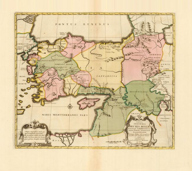
Subject: Near and Middle East

Period: 1700 (circa)

Publication:

Color: Hand Color

Size:
18.2 x 15.5 inches
46.2 x 39.4 cm
Download High Resolution Image
(or just click on image to launch the Zoom viewer)

This beautifully engraved, historical map illustrates the expedition route of conquest of Cyrus the Great (558-528 BC), the founder of the Persian Empire under the Achaemenid dynasty. His route is shown from the Eastern Mediterranean through Turkey to Armenia and Babylon. Two decorative cartouches grace the map.

References:

Condition: A

Original color with some minor printer's ink smudges and faint toning in blank margins.

Estimate: $300 - $400

Sold for: $220

Closed on 12/2/2009

Archived