Catalog Archive
Auction 130, Lot 573

"A Map of the Kingdom of Poland, Describing its Ancient Limits with the Dismemberments; Likewise its Present Boundary as Settled by Act of Congressat Vienna.", Wyld, James

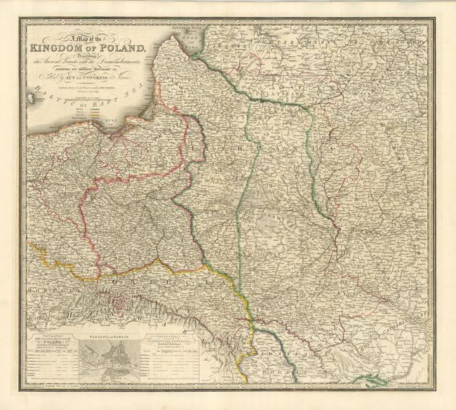
Subject: Eastern Europe, Poland

Period: 1843 (dated)

Publication: A New Atlas of Modern Geography

Color: Hand Color

Size:
23.8 x 21.3 inches
60.5 x 54.1 cm
Download High Resolution Image
(or just click on image to launch the Zoom viewer)

This map was originally published with a different title by William Faden in 1799. The map is based on the Rizzi-Zannoni 24-sheet map of 1772 that was commissioned by the King of Poland. An inset contains a bird's-eye plan of Warsaw flanked by tables of information concerning the population, religion, and languages. A color key below the title identifies the regions of Prussia, Russia, Austria and the Kingdom of Poland. James Wyld, successor to William Faden, maintained the high standard of graphic and factual excellence that had been established by his predecessor and his maps are among the finest published in the early nineteenth century.

References:

Condition: A

Printed on sturdy paper with original outline color. There is a chipped corner, well away from the map.

Estimate: $250 - $300

Sold for: $300

Closed on 12/2/2009

Archived