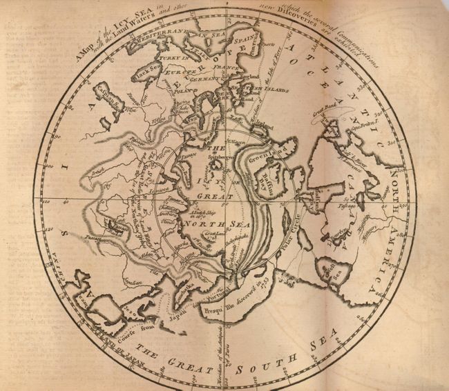
Subject: North Pole
Period: 1760 (published)
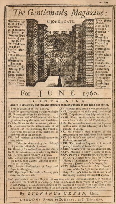
Publication: Gentleman's Magazine
Color: Black & White
Size:
7.8 x 7.8 inches
19.8 x 19.8 cm
This fascinating map, based on the work of Jean Palairet, depicts the Northern Hemisphere and the Icy Great North Sea surrounding the North Pole. It shows the West Sea and other myths in the Northwest part of North America, and notes that a Dutch ship reached 80° north latitude in 1670. Contrary to custom, Europe is located at left with America on the right. The course of the imaginary Northwest Passage is depicted as an easy sail between Portugal and Japan. With highly distorted landmasses, including a huge single island where the Aleutians are today, with the note they were discovered in 1753. Still bound in the original and complete June 1760 issue (48 pp.) with related article.
References: Jolly GENT-141.
Condition: B+
The map is on sound paper with dark impression and no flaws except for some offsetting. The magazine is likewise very nice.