Catalog Archive
Auction 130, Lot 470

"Tabula Nova Provinciae Ultrajectinae…", Visscher/Schenk

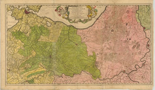
Subject: Netherlands

Period: 1700 (circa)

Publication:

Color: Hand Color

Size:
33 x 18.5 inches
83.8 x 47 cm
Download High Resolution Image
(or just click on image to launch the Zoom viewer)

This is an uncommon, large map showing the area between Amsterdam, Gouda, Arnheim and Zutphen including Utrecht and Amersfoort. The map includes an astounding amount of information on the towns, fortifications, rivers, farms, woods, marshes, polders, dikes, canals, roads, churches, windmills, etc. It is decorated with a large title cartouche with coat of arms and a host of putti. Printed on two joined sheets, as issued.

References:

Condition: B

With some fly-specs and creasing with an old paper repair on the paper joint.

Estimate: $220 - $300

Sold for: $140

Closed on 12/2/2009

Archived