Catalog Archive
Auction 130, Lot 453
"Regni Sueciae in Omnes suas Subjacentes Provincias Accurate Divisi Tabula Generalis…", Homann, Johann Baptist
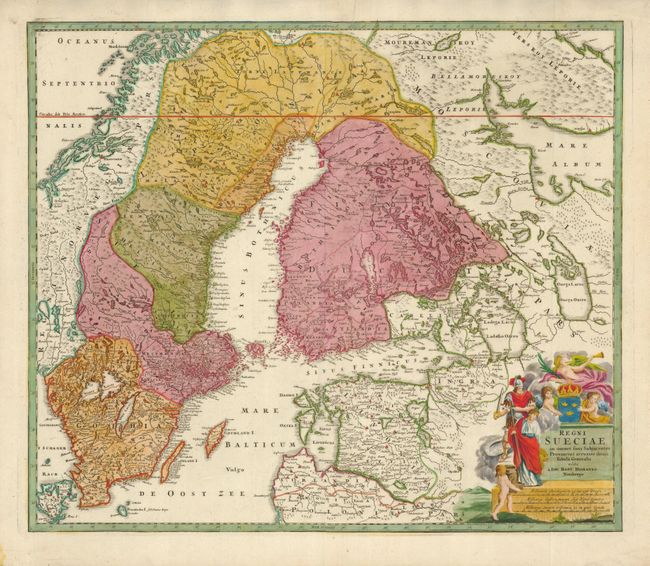
Subject: Sweden and Baltic States
Period: 1730 (circa)
Publication:
Color: Hand Color
Size:
22.5 x 19.3 inches
57.2 x 49 cm
Download High Resolution Image
(or just click on image to launch the Zoom viewer)
(or just click on image to launch the Zoom viewer)