Catalog Archive
Auction 130, Lot 438

"[Lot of 3] A New Map of England from the Latest Observations [and] A New Mapp of the Roads of England Shewing the Reputed Distances from One Town to Another [and] England",

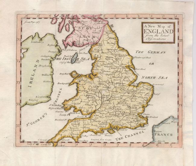
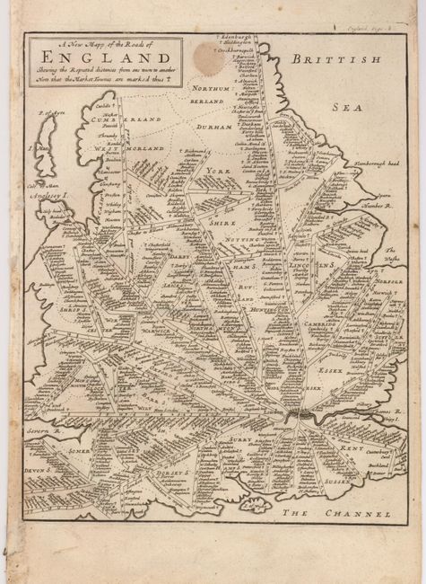
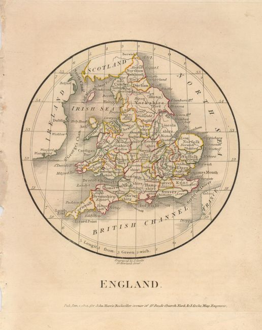
Subject: England & Wales

Period: 1720-1801

Publication:

Color:

Size:
See Description
Download High Resolution Image
(or just click on image to launch the Zoom viewer)

1) A New Map of England from the Latest Observations, by John Senex, from Geography anatomiz'd…, circa 1739, hand colored, (7.6 x 6.3"). This map focuses on the river systems and includes many cities, towns and villages. (B+)
2) A New Mapp of the Roads of England Shewing the Reputed Distances from One Town to Another, Anonymous, circa 1720, uncolored, (7.5 x 9.5"). This map is probably based on John Ogilby's survey of England's roads in 1675 and is derived from a road map of England and Wales by John Seller Sr. There is a small spot in the map. (B)
3) England, engraved by J. Cooke for John Harris, 1801, original outline color, (5.5 x 5.5"). This is an interesting circular map. (A)

References:

Condition:

See individual descriptions.

Estimate: $180 - $240

Sold for: $475

Closed on 12/2/2009

Archived