Subject: Reference Books
Period: 1995 (published)
Publication:
Color:
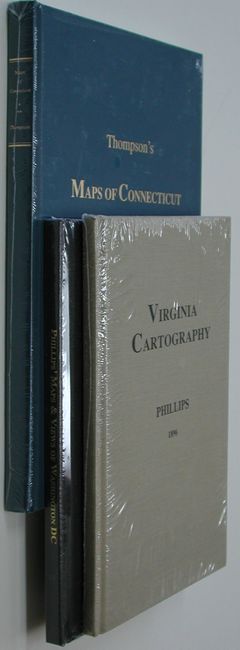
1) Phillips' Maps & Views of Washington DC, by Philip Lee Phillips (1900), reprinted in 1995. Phillips compiled from the vast collection in the Library of Congress. A great reference on the mapping of our country's capital. (6.3 x 9.3") 8 vo, 87 pages. Hardbound in black buckram. < br>
2) Thompson's Maps of Connecticut, by Edmund Thompson, Terra Nova Press, 1995, (7" x 10.5"). Reprint of this interesting, scholarly work that is extremely rare in the original edition. As the publisher of this reprint states, "There are few great America carto-bibliographies and Thompson's Maps of Connecticut is one of them. Unfortunately, this insightful work is almost unknown because of its extreme scarcity!" Two volumes in one. Vol.1 includes maps before the year 1800; Vol. 2 includes maps for the years 1801-1860. 177 pp, illustrated. Hardbound in dark blue buckram.
3) Virginia Cartography, by Phillip Lee Phillips (1896), reprinted 1995. A list of 200-plus maps that remain, "…an analytical, interesting view on the mapping of one of the earliest Europeanized parts of our country." (6.3 x 9.3"). 8vo, 85 pages. Hardbound in beige buckram.
References:
Condition: A+
All new in shrink wrap.