Catalog Archive
Auction 129, Lot 810

"L'Afrique Divisee en ses Empires, Royaumes, et Etats…", Elwe, Jan Barend
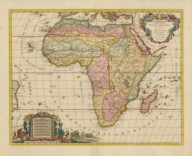
Subject: Africa

Period: 1792 (dated)

Publication: Atlas Geographique et Universel

Color: Hand Color

Size:
23 x 18 inches
58.4 x 45.7 cm
Download High Resolution Image
(or just click on image to launch the Zoom viewer)

This handsome, large map of Africa was copied from Jaillot's popular and influential map from more than a century earlier (1674). The cartography is typical for the seventeenth century with the Nile originating in two large lakes below the equator. The River Zaire (Congo) also arises from Lake Zaire. The Kingdom of Monomotapa is shown with its capital on the Rio de Spirito Santa, and Vigiti Magna is also depicted. The map is richly embellished, also in the seventeenth century style, with two elaborate cartouches.

References: Norwich #109.

Condition: A

Crisp impression and lovely old color with an insignificant light spot in the Atlantic.

Estimate: $500 - $600

Sold for: $375

Closed on 9/23/2009

Archived