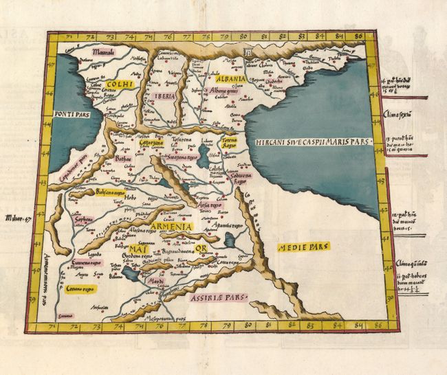
Subject: Caucasus
Period: 1535 (published)
Publication: Geographia
Color: Hand Color
Size:
14.8 x 11.5 inches
37.6 x 29.2 cm
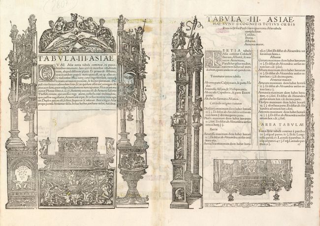
Fine Ptolemaic map of the region between the Black and Caspian Seas with Armenia, Choli, Iberia and Albania on the eastern frontier of the Roman Empire. The woodcut map from the blocks of Laurent Fries is based on the work of Waldseemuller. This edition was edited by Michael Servetus, the martyr executed by the Calvins in 1553 for heresy. The Latin title and text on verso includes borders and ornamentation attributed to Hans Holbein. Geographically the map is classic Ptolemy, trapezoid in outline with convoluted mountain ranges.
References: Mickwitz & Miekkavaara (Nordenskiold) #209-35.
Condition: A
Minor soil in the wide margins.