Catalog Archive
Auction 129, Lot 646

"Le Royaume de Hongrie et les Estats qui ont este Unis a sa Couronne", Elwe, Jan Barend

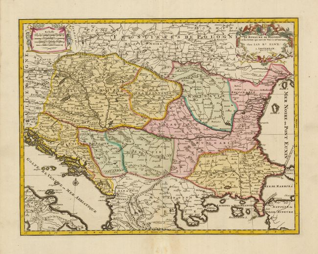
Subject: Southeastern Europe, Hungary

Period: 1792 (dated)

Publication: Atlas Geographique et Universel

Color: Hand Color

Size:
21.8 x 16.8 inches
55.4 x 42.7 cm
Download High Resolution Image
(or just click on image to launch the Zoom viewer)

A well-engraved map with strong detail throughout locating scores of towns and villages, with the Danube shown roughly in the center. It includes Hungary with parts of Bosnia, Serbia and Bulgaria and extends to the Gulf of Venice and the Sea of Marmara. A decorative figural cartouche surrounds the title.

References:

Condition: A

Dark impression with original color. There is a printer's ink smudge at lower right and an old repair of the bottom fold in the margin.

Estimate: $400 - $475

Unsold

Closed on 9/23/2009

Archived