Subject: Europe
Period: 1870 (published)
Publication:
Color: Black & White
Size:
22 x 19 inches
55.9 x 48.3 cm
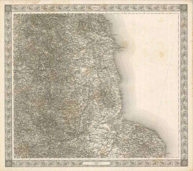
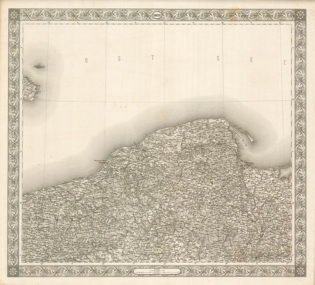
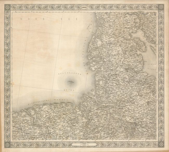
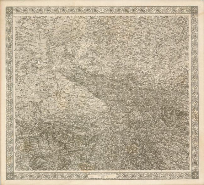
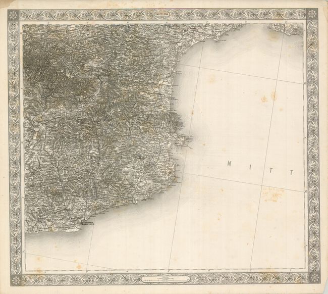
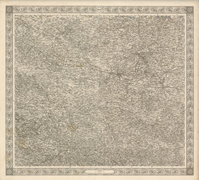
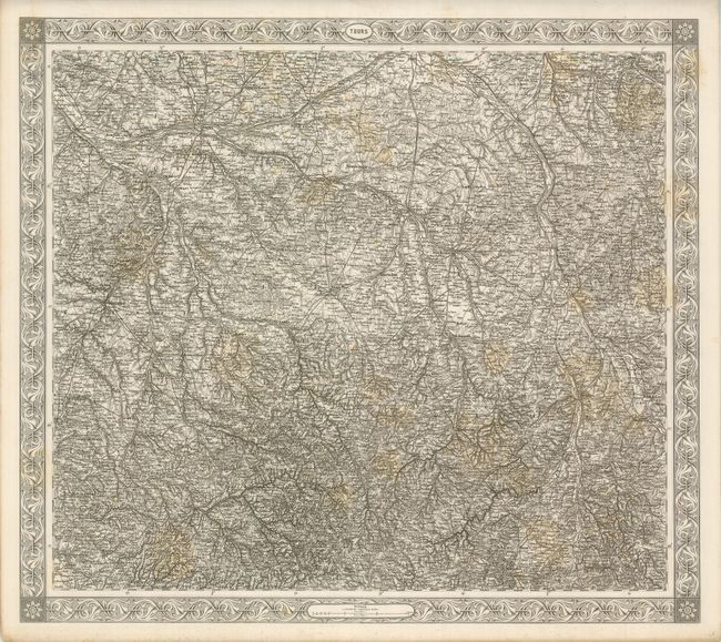
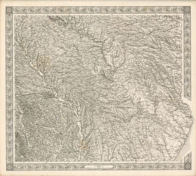
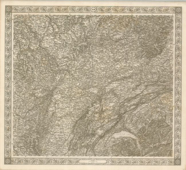
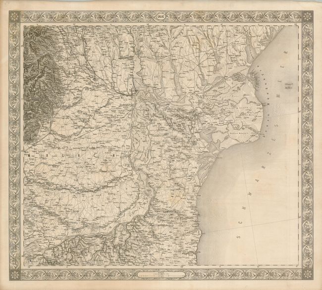
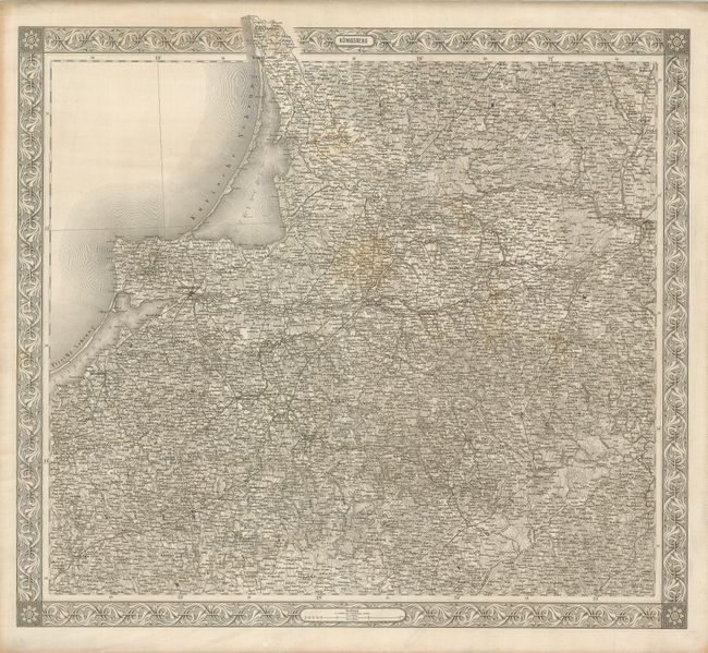
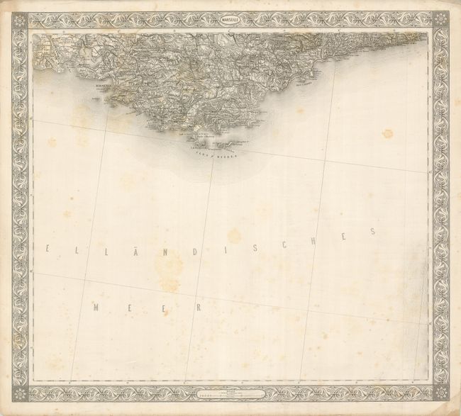
These large maps are finely engraved with the typically precise line we are accustomed to seeing in maps produced in Germany. Each of the 20 sheets is mounted on linen, apparently as issued. Each covers a region of Europe (plus one from Britain) as noted by its title. None carry a plate number or other identification save the title as given below. It is not possible to exaggerate the extraordinary detail and information provided on each sheet - this was a monumental mapping and engraving effort. Each sheet is surrounded by a decorative, wide border and each section measures approximately 22" x 19" including the decorative border. Drawn on a consistent scale of 1:576,000, the combined sheets equal more than 54 square feet of engraved surface; but we have not put them together to see if they form a contiguous map. Published by the Im K.K. Militarisch - Geografischen Institute.
1) Birmingham; 2) Danzig; 3) Hamburg; 4) Mogilew; 5) Wilna; 6) Coln; 7) Barcelona; 8) Warschau; 9) Posen; 10) Berlin; 11) Mozyr; 12) Pinsk; 13) Tours; 14) Kiev; 15) Odessa; 16) Dijon; 17) Lyon; 18) Galaz; 19) Toulouse; 20) Konigsberg; and 21) Marseille.
References:
Condition: A
Most are very clean and near fine, a couple with light scattered foxing. Birmingham with a little more foxing.