Catalog Archive
Auction 129, Lot 444

"Isles Maidenland, de Hawkins, et le Detroit de Fakland…", Bonne, Rigobert

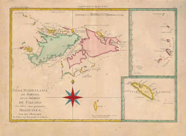
Subject: South Atlantic Ocean

Period: 1780 (circa)

Publication: Atlas Encyclopedique

Color: Hand Color

Size:
13.5 x 9.2 inches
34.3 x 23.4 cm
Download High Resolution Image
(or just click on image to launch the Zoom viewer)

This chart shows the Falkland Islands with ship's tracks and depth soundings around the islands. These strategically important islands were contested between France, Spain and Britain through much of the eighteenth century. Commodore Byron claimed the islands for Britain in 1765. Captain James Cook's discoveries in 1775 of the South Sandwich Islands and the island of Georgia are depicted in inset charts. Engraved by Andre.

References:

Condition: B+

Lightly toned with a few minor spots of foxing.

Estimate: $100 - $150

Sold for: $60

Closed on 9/23/2009

Archived